”The mountains are calling and I must go.”
John Muir
Mulhacen, Sierra Nevada
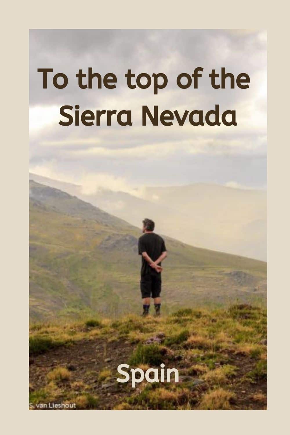
The Mulhacen is part of the Sierra Nevada; it is the highest mountain in mainland Spain with a height of 3,479 meters (11,413 ft). And we are going to climb to the top.
A three-day hike to Mulhacen
The plan is to hike to the top of mainland Spain. Of course, the real tough guys achieve this in one day, but we – with me being not so tough – plan three days for the return journey from our starting point, Trevélez at 1,476 meters, in the Alpujarras.
On any other day, this picturesque village would merit a visit by itself, as it is famous for the quality of its hams. But today, we have a different agenda.
Hiking to the top of the Sierra Nevada
The hike starts around eleven o’clock in the morning. It is the beginning of July. Not the best time for a steep climb, with temperatures already well in their thirties.
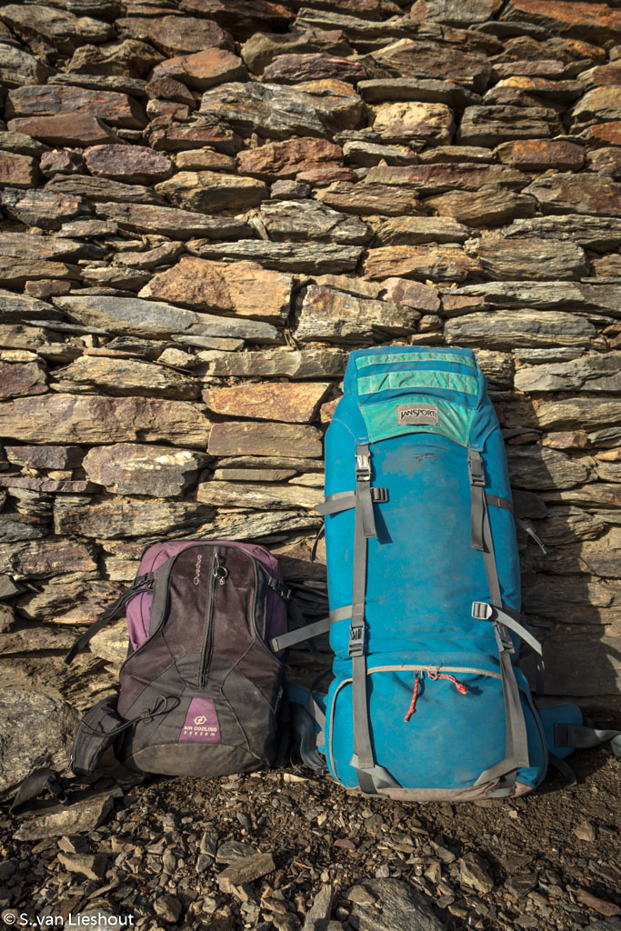
It is extra hard, as we have to carry luggage for three days: including tents, sleeping gear, change of clothes, water and food. Truth be told, I just carry six litres of water and a toothbrush. The rest is stowed away in the backpacks of ‘my Sherpa’.
Still, even only a couple of bottles and a toothbrush slow me down on a climb, especially in this type of weather. With every step, the height increases, followed by a rapid decrease in my capacity to take in oxygen.
Trevélez – La Caldera
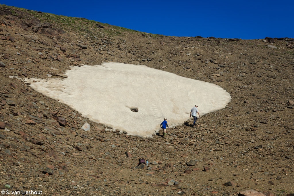
However, it is not as bad as the last time we attempted – and failed – to climb this mountain, which was somewhere end of July in a different year. The earth was scorched then, now wildflowers celebrate the beginning of summer, whilst small glacier streams still hold water. Cheerful yellow, purple and green colours greet us on our way up.
After a couple of hours and a lunch break, the weather changes. Clouds darken the sky. Suddenly it is not so warm anymore. A couple of drops quickly turn into a torrential downpour. In less than no time, I am soaked, even though I am wearing a rain jacket.
The initially distant thunder is getting louder, with no prominent place to shelter in sight. The great outdoors, first so welcoming, turns into a hostile place.
Luckily, we are close to a mountain hut in La Caldera, where we find shelter from the rain. As the showers continue, we decide to sleep in the cabin.
The tents we brought for the night remain untouched in their sacks. Finally, the clouds give way to the sun. A caballero accompanied by two dogs trots by without acknowledging our presence in his world. From now on, we have the night to ourselves. Only some cows and a frog keep us company.
La Caldera – Siete Lagunas
On the second morning, the first rays of sunlight let the mountains bask in a golden glow. But even gold-lined mountains can be tricky. Today we have to do a thousand meters of climbing, followed by almost an equal amount of descending on the other side of the mountain.
A small group of hikers initially behind us overtakes us. They are doing the summit in one day. The advantage being, of course, that one has to carry a lot less luggage.
On the other hand, the gear is slowing us down, even though the terrain is accessible at the start. The final ascent, besides a waterfall on a black rock face, is beautiful.
Unfortunately, I am too tired on this part of the ascent to take a picture. For the rest of the climb, I am merely trying to survive. I can hardly catch my breath, my lungs feel tight, and my heart beats in my head. I am absolutely sure I will never make it to the top. Every couple of meters, the weight of my backpack seems to double.
Finally, after what feels like a gruelling couple of hours, we reach the top of the waterfall. Then, after a short break, we continue to the area called Siete Lagunas, the seven lakes, at almost three thousand meters above sea level.
The guide of the hiker group we met earlier that day greets us on his return journey. Even for an experienced guide, he must have been hiking at record speed. When I show my surprise, he admits that they didn’t make it to the top. He, the guide, got altitude sickness, proven by the contents of his stomach spread over the path that we find on our way up.
Looks like he enjoyed his apple twice!
Siete Lagunas – Mulhacen
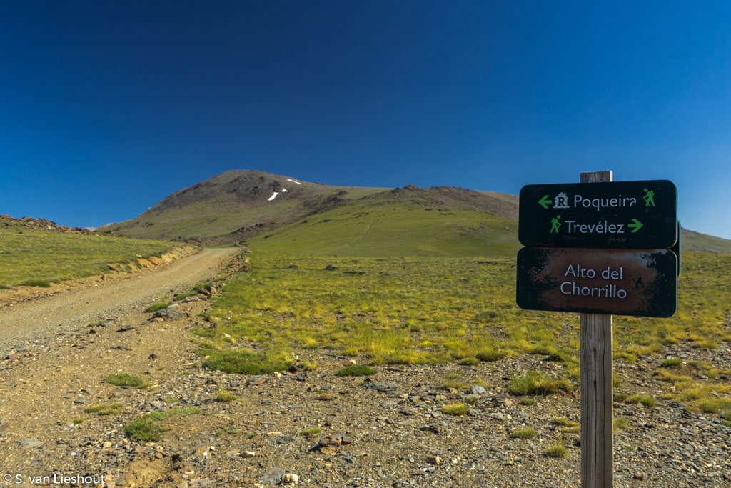
We leave the Siete Lagunas to our right and continue on to the crest of the mountain. Up till now, the path was clearly signposted, now all signs have disappeared. With a map combined with the GPS on a mobile phone, we find our way through this barren landscape. Once we are back on the right track, with the right mindset, it is straightforward. We just have to reach the top.
It is a ‘gentle’ slope. Still, our pace is excruciatingly slow. We are now well over 3000 meters above sea level. Yet, surprisingly, we are still kept company by herds of cows. In the blue sky fly a couple of birds of prey, probably scavenging vultures. From this point onward, this is all the wildlife we see.
In the mountains, no one is left behind
Although the top of the Mulhacen is within sight, my feet refuse to cooperate at the last hundred meters.
“I can’t, I won’t go anymore!” Who needs to get to the top anyway?!
The rest of my family is already up there, cheering their success. I give up. But my travel companions decide differently. In the mountains, no one gets left behind! My hubby comes back down, takes my backpack and leads me to the top of Spain.
Mulhacen – Poqueira
From now on, it is just downhill. Our backpacks are already considerably lighter due to the consumption of food and water. The weather is excellent. Downright easy, right?
Yes, if it wasn’t for the hammers that keep beating relentlessly in my head (the first sign of altitude sickness?), it would be a piece of cake. But, as we are going down, I hope the hammering will stop …
Although the descent is steep, it is less eventful than the ascent to the summit.
We reach the Poqueira Refugio in the late afternoon. A shower, an actual bunk bed and a warm meal await us. Life suddenly seems a lot more enjoyable.
Poqueira – Trevélez
It is just downhill from here after a decent breakfast with coffee on the third and final day. From the eternal snow, we return to the blossom of early summer. Well, first, we have to climb out of the valley up from the Refugio. After that, glorious vistas of the green valleys of the Alpujarras are our reward on the final descent.
A couple of hours later, we are back where we started. After I take off my hiking boots, my feet swell up like a balloon in outer space. In the following week, I can only tolerate flip-flops on my feet.
But we are back, safe and sound. We made it!
Practical advice
- For those who like to go skiing in the Sierra Nevada, read my tips here.
- Suppose you are into hiking the highest mountains. In that case, you might be interested in the Aconcagua, which is the tallest mountain in the world outside Asia (the Himalayas). It is like the summit of the Sierra Nevada in Spain, not a technical climb. The article contains a complete guide to climbing this Argentinian mountain.
- Take a hiking map, GPS, plenty of water (and/or sterilizing pills), a torch, food, hiking boots, sunscreen and rainwear.
- Book your place to overnight in the Alpujarras in advance.
- Buy Care Plus blister plasters (or something similar) before you go. It saved my life, well, at least my feet.
- Let people know what your plans are and when you are due back, in case something happens.
- Descend as quickly as safely possible when you get symptoms of altitude sickness.
- The Veleta is the second-highest peak in the Sierra Nevada and a good alternative for a day hike.
More outdoors
50 shades of green on the Via Verdes in Spain
Cycling along the ‘Vías Verdes’, the Spanish abandoned railways, is a fantastic way to explore the Spanish interior.
The Marmitte dei Giganti are Urbino’s best kept secret
De Marmitte dei Giganti in Pesaro-Urbino One of the most spectacular pieces of nature in the Marche can be found near the town of Fossombrone in the province of Pesaro-Urbino, where emerald-green water flows through a steep canyon. Over thousands of years, the Metauro...
Cycle from Peschiera (Lake Garda) to Mantua with or without your family
The 44-kilometre cycling route from Peschiera on Lake Garda to Mantua is an ideal family outing throughout the year. It is lovely in spring or autumn.
3 x snowshoeing in northern Italy
Snowshoeing The winter wonderland of northern Italy is a great place to relax. On the snow-covered mountains, life doesn't get much better. But while it is 20º C on New Year's Day in the Swiss alps (source), I wonder how long I can, in good conscience, continue with...
Endless skies on the Norfolk Coast Path
Cley next to the SeaHiking the Norfolk Coast Path The 135-kilometre (84 miles) Norfolk Coast Path runs from Hunstanton north of the county to Hopton-on-Sea towards Suffolk. A distance that a seasoned hiker covers in three days. For the lesser gods, like me, completing...


